
Fire Station Details - Dorset and Wiltshire FRS Control
Upload an image of this Fire Station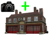 Upload an image of this Fire Station
|
|
Fire Station Details - Dorset and Wiltshire FRS ControlUpload an image of this Fire Station Upload an image of this Fire Station
|
|
|
 |
||||||||||||||||||||||||||||||||
