
Fire Station Details - Merseyside FRS old control site
Upload an image of this Fire Station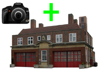 Upload an image of this Fire Station
|
|
Fire Station Details - Merseyside FRS old control siteUpload an image of this Fire Station Upload an image of this Fire Station
|
|
|
  |
||||||||||||||||||||||||||||||||
