| Name: | Durham old fire station 4 site |
| Address: | by public baths, Velvet Waterside |
| Town: | Durham |
| Brigade: | County Durham |
| Postcode: | |
| | |
| Year Range: |
?-? (demolished) |
| | |
Confirmed
Latitude/Longitude: | 54.776075 North
01.569105 West |
| | |
| Further Information/ Provenance: | |
Jon Seddon
- https://maps.nls.uk/geo/explore/#zoom=18&lat=54.77624&lon=-1.56871&layers=168&b=4
Shown on 1896 1:2500 OS map
|
| |
| |
| If any of this information is incorrect, or you can supply further details (confirmed address, location, years of use etc), please click here to send details |
Return to previous page |

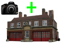 Upload an image of this Fire Station

